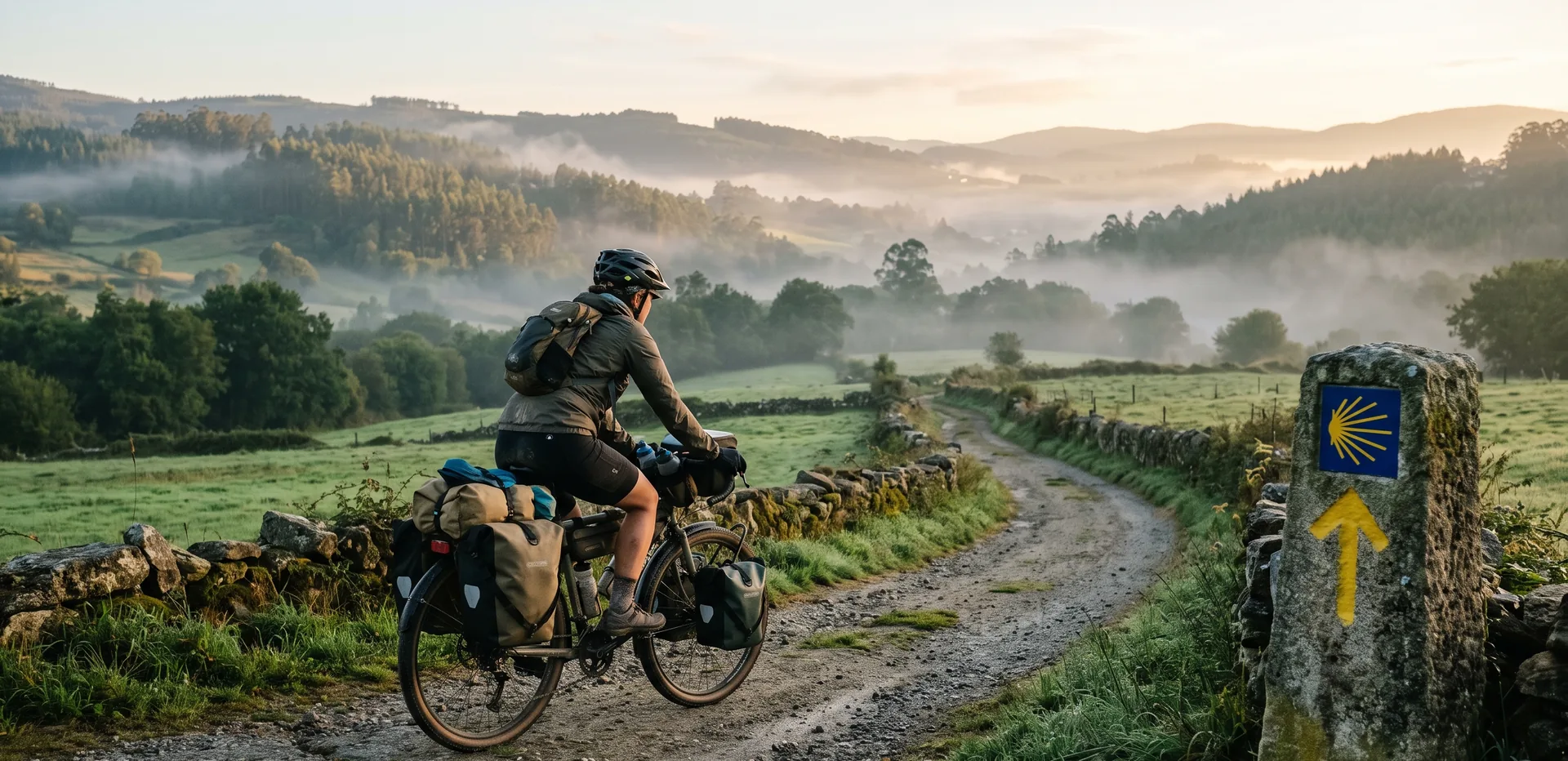
We’ve created the app for the Camino de Santiago by bike that we’d been dreaming up for twenty years
Bicigrino presents its GPS planner and navigator: a tool designed from the ground up for those who travel the Camino on two wheels. You can use it on your computer to plan your trip and on your phone to navigate it, even without cell service.
We’ve been doing this for over twenty years. We’ve seen thousands of bicigrinos and pilgrims come and go; we’ve personally traveled every single one of the different Camino de Santiago routes and cycling trails; and we’ve answered, one by one, the questions of those who are considering crossing half the Iberian Peninsula by bike for the first time. And throughout all that time, one question came up more than any other: “Where exactly am I going, and what will I encounter?”
We understand the concerns of those who set out on such a grand cycling adventure. The tools that were available never quite addressed those concerns. They were designed for pilgrims on foot, not for cyclists. They couldn’t distinguish between a stretch of asphalt and one of loose sand. They didn’t take into account distances appropriate for cyclists. They didn’t tell you where to find a repair shop if you got a flat tire. They didn’t warn you about a long hill before you started climbing it with your saddlebags loaded. And they almost always stopped working right where you needed them most: in areas without cell service in El Bierzo or inland Galicia.
So we did what we’d been wanting to do for years. We built it ourselves.
Today we’re introducing bicigrino’s GPS planner and navigator, an app designed from the ground up for the Camino de Santiago by bike. It’s not an adapted version of an app meant for hikers. It’s a brand-new tool, created by people who know these routes kilometer by kilometer.
An app that understands how to plan and how to travel the Camino
Cycling the Camino has two very different phases, and both are important.
The first step is before you set out—almost always in front of the computer at home, with plenty of time and a cup of coffee by your side. That’s when you decide how many days you have, how far you want to go each day, and where you’re going to sleep. “The Camino de Santiago begins the very moment you dream of it.” The second is the Camino itself, with your cell phone on the handlebars, the sun in your face, and only one hand free because the other is holding the bike.
Most tools address one of these two aspects and ignore the other. Ours is designed for both, and to transition from one to the other without losing anything along the way.

Plan your stops to suit your needs
The app’s core feature is the stage planner. You tell it how many days you want to dedicate to the trip—seven, ten, fourteen, whatever—and it suggests a balanced itinerary, with distances and elevation changes, stopping in real towns with real amenities.
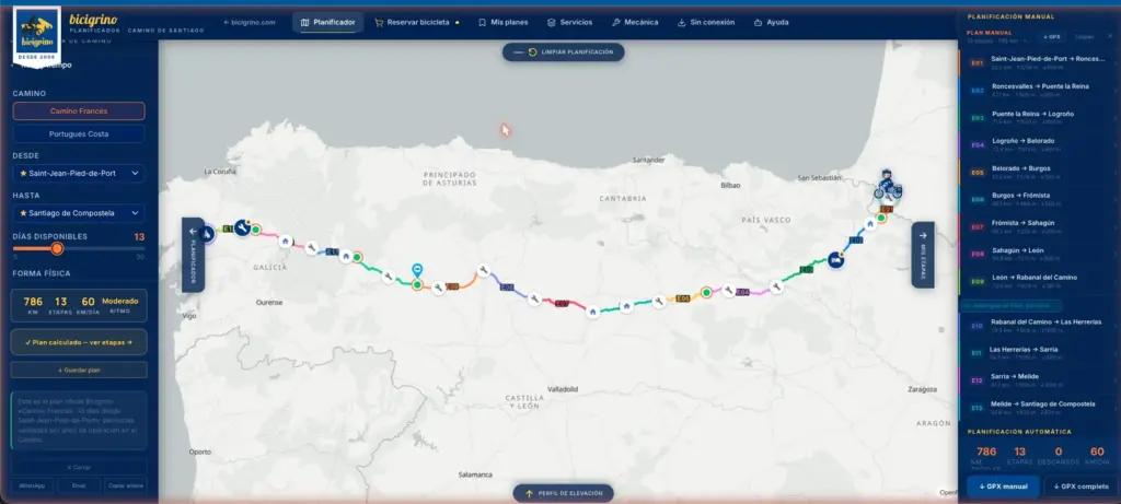
Would you rather adjust it yourself? You can. Change where you sleep, make a day longer or shorter, move a stop, and the plan recalculates automatically. Bicigrino’s official stops are highlighted because, based on our experience, we know you’ll be well taken care of there.
Once you have your plan ready, you can download it as a PDF to take with you—either printed out or saved on your phone—with each step explained. And if you save it to your email, you can access it on any device: whatever you prepare on your computer will show up on your phone.
For now, the app covers the two routes we know best and that people ask us about most often:
- The French Way, from Saint-Jean-Pied-de-Port to Santiago (about 780 km).
- The Portuguese Coastal Route, from Lisbon to Santiago (about 639 km).
GPS navigation designed for the handlebars
When the day arrives, the app acts as your co-pilot. The GPS navigation shows you the Camino route and your location in real time, with a screen designed to be used with one hand and while wearing gloves: large buttons, no menus to get in the way, and no pop-up windows while you’re riding.
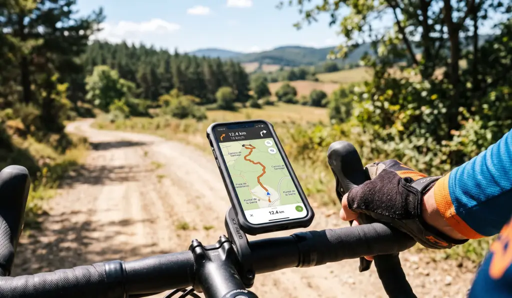
You can follow the recommended route or select “paved road” mode, an alternative route that avoids the dirt sections and stays on paved roads and solid trails. This is the best option for those riding a road bike, pulling a trailer, or simply wanting a comfortable ride.
And if you stray from the plan—whether because you have extra energy one day or because you feel like stopping early—the app understands. It detects that your actual route has deviated from the planned one and offers to recalculate the stages from your current location with a single tap.
It works without cell service—which is exactly where you need it
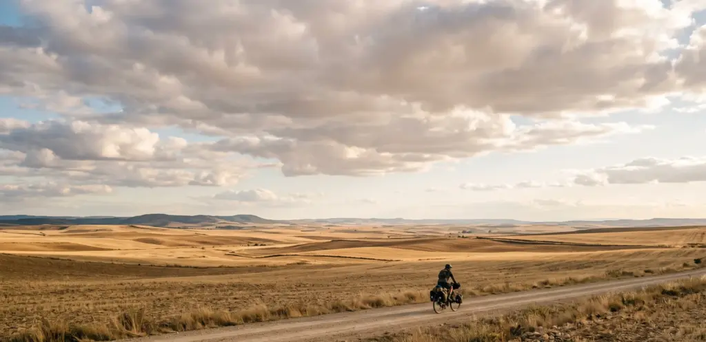
This isn’t just a minor detail—it’s one of the reasons we created the app. The Camino passes through areas where cell service is unavailable for hours at a time: the Meseta, the mountains of León, and much of Galicia.
That’s why the app works offline. You download the map and route before you set out, and you can keep navigating even if you run out of data. The map, your location, and the track are still there. And when something requires an internet connection, it tells you clearly instead of leaving you with a blank screen in the middle of nowhere.
Data that only cyclists appreciate
Here’s the key difference. A hiking app tells you where to find a shelter. Ours, on the other hand, gives you the information that really matters when you’re carrying a bike:
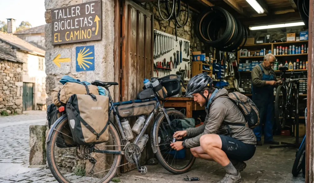
- Verified bike shops and repair shops along the route, with their GPS locations. When something goes wrong, you know where the nearest one is.
- The type of surface on each section: asphalt, compacted dirt, dirt, cobblestone, sand. Knowing that loose sand is ahead completely changes how you approach it.
- The elevation profile for each stage, so that no hill catches you by surprise and you can pace yourself wisely.
- Water fountains, pharmacies, stores, and places to stay on the map—the services you actually use throughout the day.
- The marked technical sections—those tricky spots we know all too well and that are best tackled slowly or bypassed.
Plus, the app doesn’t make any assumptions about your bike. It doesn’t matter if you ride a mountain bike, a gravel bike, an e-bike, or a full-suspension bike: the information adapts to whatever you’re riding, without assuming that everyone rides the same way.
On your computer and on your phone—the same tool
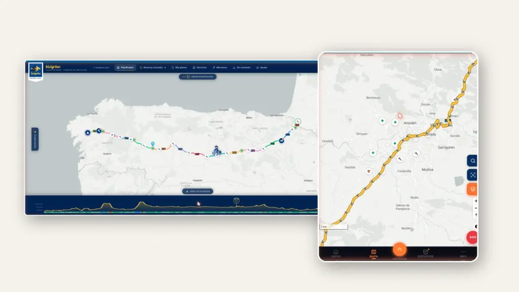
There’s just one app, and it adapts to your screen. On your computer, you have plenty of space to plan at your own pace: view the full-size map, compare stages, adjust stops, and print your itinerary. On your phone, you have the route version: lightweight, fast, ready for navigation, and designed for one-handed use.
And since it’s a progressive web app, you can install it on your phone just like any other app, without going through an app store. It appears as an icon on your home screen and launches instantly.
More than just an app: an extension of how we work
For us, this isn’t just another product. It’s the natural way to pass on twenty years of knowledge about the Camino to those who are going to walk it. Behind every highlighted stop, every marked workshop, and every difficult stretch that’s been flagged, there’s real, on-the-ground experience from bicigrino.
Anyone who rents a bike from us has the one thing they were missing right in the app: the itinerary, the route, the services, and the support of a team that has been making sure the Camino by bike goes smoothly for decades.
This is just the beginning
The app is a work in progress. We’ll be expanding it month by month: more routes, more data, more detail. What we have today is the foundation of something that will grow, and we want it to grow by listening to its users.
So we have one request: give it a try, plan your next Camino, and let us know what you think is missing. Every suggestion helps us improve it for the next one.
Start planning your Camino
👉 Go to planificador.bicigrino.mobi from your computer or phone, choose your route and dates, and put together your plan in just a few minutes. It’s free, and you don’t need to install anything to get started.
The best way to prepare for the Camino by bike is with someone who knows it well. See you on the trail.