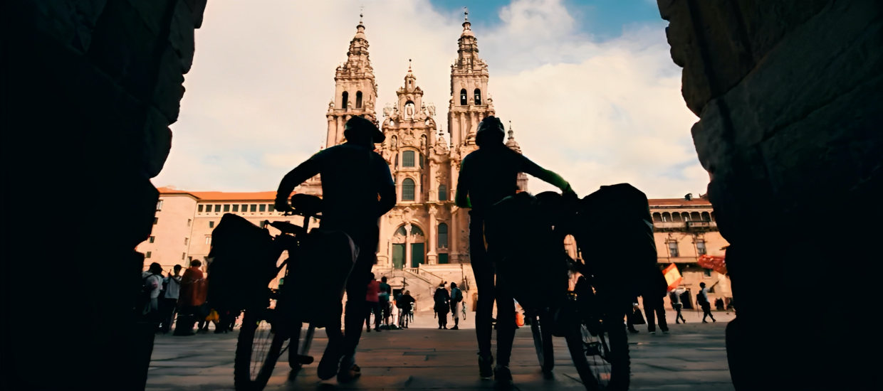
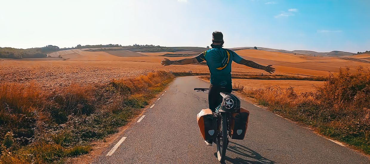
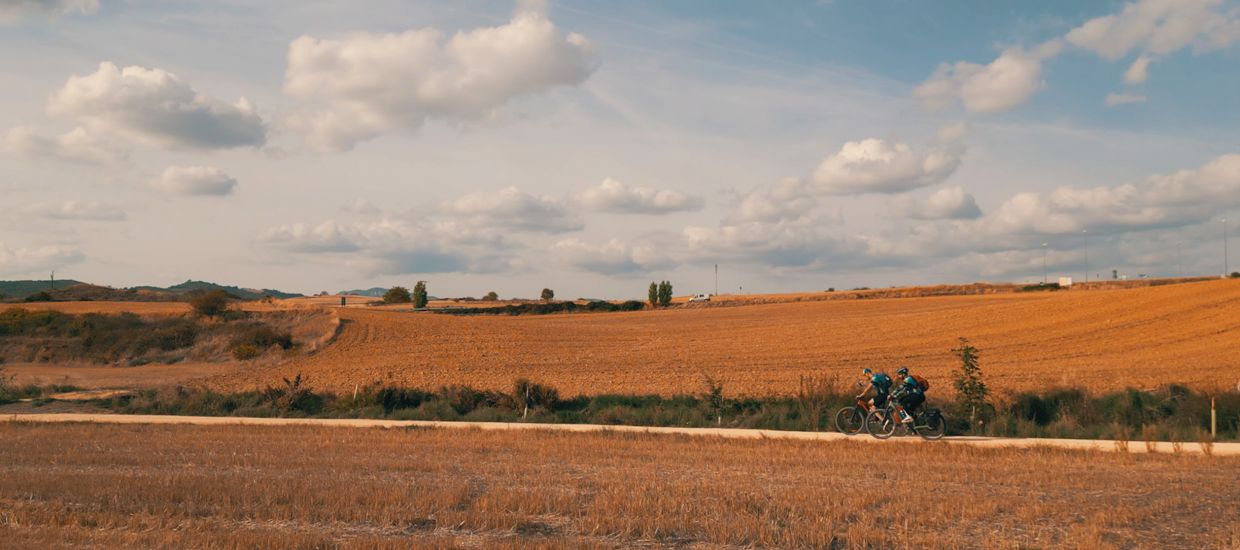
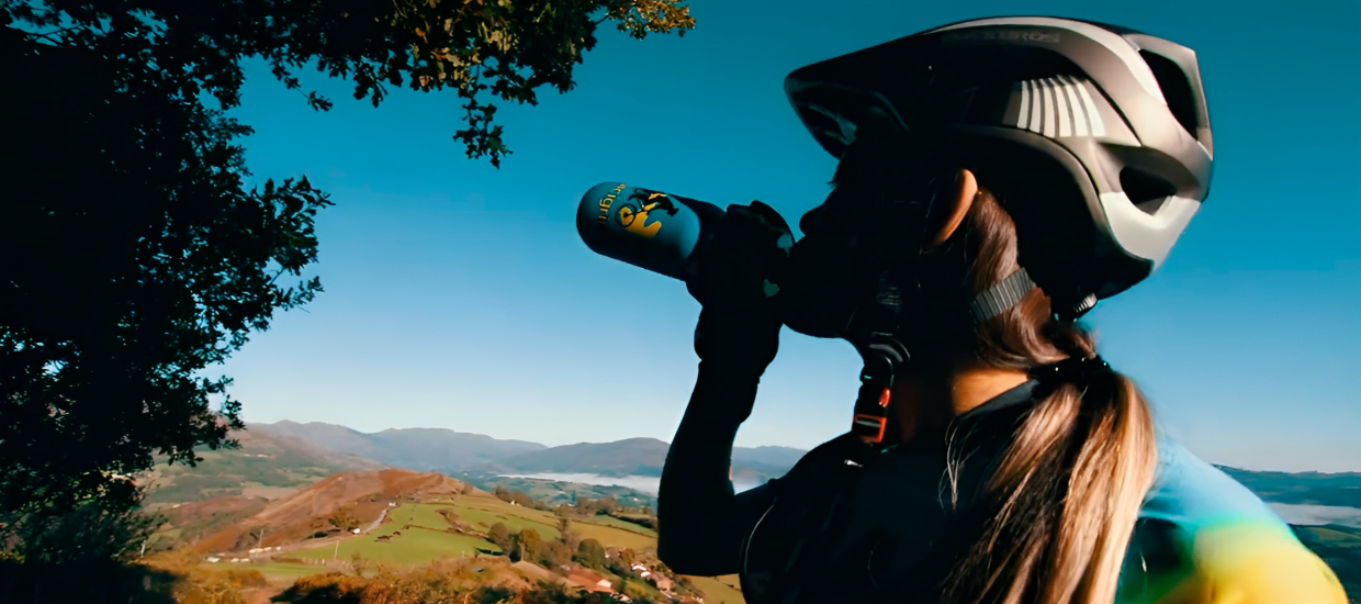
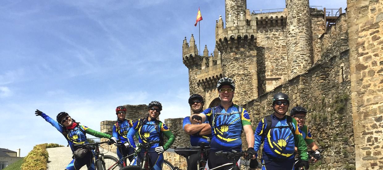


Stage 4, Bilbao – Colindres
BILBAO – COLINDRES
Height, minimum: 0 m, maximum: 251 m
Accumulated height, in ascent: 1.146 m, in descent: 1.130 m
Stage kilometers: 81,05
Stage time: 5:35:38
Average speed: 14,19
Maximum speed: 56,90
Total kilometers: 286
Total time: 24,44 hours
In the following link you can download a handy map of the bidegorris on Bilbao that will surely be very useful to you because of what I will say below.
I will start the description of this stage indicating, for those who use this for planning their journey, that COLINDRES is not an appropriate end for the stage. If we want to go to its hostel we must know that there is no room for bikes and we can barely put two bikes on the landing of the floors of the building where the hostel of Colindres is located. I will narrate this stage because it is the stage that I was forced to do and fate together with the vicissitudes of my journey took me there, but with my experience I think the best is to choose GAMA as end of the stage (Barcena de Ciero, keys at bar “Los Yugos” Phone +34 942 642 065) or ESCALANTE (convent of Clarisas nuns).
The crossing of Bilbao and its metropolitan area is quite difficult and complex. In this case there are several alternatives and possibilities to get in and out of the big city. I will narrate here the description of the route that my GPS track follows (the route I did) and the different alternatives.
Here you have a more confortable alternative:
Bilbao to Portugalete along the right side of the ria.
First of all and for guidance, it is understood that the right bank of the ria is the one that we have on our right, following its course to its mouth at El Abra.
From the hostel, we go back down until EUSKADUNA Bridge, which we cross throguh the bike path that leads us to the foot of a traffic light, we cross it and take another bike path that goes between streets (Iruña street) by the Deusto neighborhood of Bilbao, we turn left in the bike path to come to Avenida Lehendakari Agirre (Agirre Lehendakariaren Etorbidea), through which we circulate with care as it is a busy road and pedestrian access to the bus stops cross the street repeatedly. We continue this cycle lane through this avenue for 2 km. approximately until its end in Elorrieta neighborhood, where we see the ria again and the road BI-711, through which we cycle for about 10 km. to the neighborhood of Las Arenas in the town of Getxo. This road runs completely parallel to the bed of the river, we can not miss it, so the only thing we have to do is to follow it without taking a detour, having to give our full attention to the traffic that flows through it. We will see, on both banks, industrial and trade vestiges, which were the origins of the development of Bilbao and its surroundings as well as the new shipyards, steel, etc.
At the entry of Las Arenas and from above in the distance, we can already see the suspension bridge on our front a little to the left, and we cross to the left, once we see that there is no sidewalk, at the first traffic lights that allow us to cross, to take another bike path, which runs along a walkway that leads after a few meters to the very feet of the Suspension Bridge, where we will board with our bike in the center of the “log” with cars and motorcycles. On the other side Portugalete awaits us, and we pass through it as described in the main part of the stage.
If you have enough time, I recommend not crossing the suspension bridge immediatly and following the bike path to its end. The path is about 3.5 km. (7 km. Roundtrip), completely flat, and runs along the promenade to Puerto Viejo de Algorta (old fishing port), and that will allow us to see as we go, the Abra or mouth of the ria, the leisure harbour of Getxo, and at the same time we pass by stately summer mansions of Bilbao bourgeoisie of the late nineteenth and early twentieth centuries, the beaches of Las Arenas and Ereaga. Once at Puerto Viejo, we can see its steep streets with stairs, marked with small white houses with balconies and windows in bright green and red colors, besides tasting some tasty pintxos and a great variety of wines, with which soothe appetite, thirst and curiosity, to return, back on the same cycle path to the Hanging Bridge, where we cross to Portugalete. It is worthwhile.
For more information, there is a tourist office opposite the hanging bridge, where we will be advised on what to see and how to get to it.
Also point out that this variant is in my opinion the one with less possibilities of getting lost, since from the beginning it runs along a bicycle path, ending almost in a road that we have to follow until we reach our target midpoint, The Suspension Bridge, which is at the same time a visible reference, easily recognizable and anyone can give us guidance on its location.
And here for those following my GPS track According the route of my real Northern Way:
We leave the hostel and continue climbing on top of Castrejana. In the top we turn right down to the Bilbao’s neighborhood of Zorroza and go out to the BI-3742 Zorroza-Castrejana. Here we will add to the right side of the road and cross the rails of FEVE line and go under the highway to the intersection of the N-634, taking it to the left (Calle Fray Juan). From there we advance approximately 500 meters until a crossroads where we take the right road, BI-3739 (Zumalakarregi Kalea). Through this road we will continue advancing along the left side of the ria to Portugalete, passing through the neighborhoods of Lutxana-Barakaldo, Barakaldo and Sestao. In Barakaldo shortly after passing under a large bridge (Rontegi) we get to a roundabout taking the road on the right(“Avda de los Altos Hornos de Vizcaya”), trhough which we continue until crossing a bridge over the river Galindo.
If we want, here we can go through an alternative path from Sestao to Portugalete
Alternative path from Sestao to beach of “La Arena”
OPTION 2: We take a Detour at the entry of Sestao. We cross the river Galindo and get to a roundabout, we continue along the Avenue of Kaiku to another roundabout where we turn left and take the BI-3744 by Maestro José street, moving for about a kilometer, it may be somewhat painful due to the odors of the sewage treatment plant of Galindo. We reach a roundabout and we have to find a bide-gorri that will get us through the southern part of Sestao to the bide-gorri going from Portugalete to the beach of “La Arena” in Muskiz. Here we can choose to continue without entering Portugalete, continuing on the bike path that descends to the right, whose tour is described in the main stage, or enter Portugalete, for which we will ascend through the bike path until we reach a roundabout, where we will continue straight on, carefully as we have to incorporate ourselves to the road. A few meters later we will be in “Avenida de Carlos VII”, through which we descend straight until reaching an intersection with traffic lights. At this intersection, we turn slightly to the right and take Casilda Iturrizar street, which descends sharply, and then we will take the 1st pedestrian street on the right if we want to go to the Basilica of Santa Maria, or continue down to the suspension bridge. Once we see Portugalete, we go back through our own steps to join to the bidegorri that goes to the beach of “La Arena” as described on the main stage.
If you prefer to follow my route and therefore my GPS track we go through there:
We reach Sestao, and then we continue straight through Rivas street, which is the continuation of “Avenida de Kaiku”. We cross the working-class neighbourhood of Sestao, watching on our right the shipyard of La Naval and the remains of the old “Altos Hornos” of Bizkaia. We continue through the same road, that becomes later Txabarri (Chavarri) street, to approach Portugalete. Leaving Sestao we can contemplate on our right a beautiful view of the ria and its basin, and we can also see in the distance suspension bridge or the bridge of Bizkaia.
When arriving at Portugalete we should not miss a visit to the Basilica of Santa Maria with its beautiful altar. I recommend walking through its narrow streets leading down to the banks of the ria and walk along the shore until the very suspension bridge. From there we go up again. In order to make easier this rise, just above “Gran Hotel Puente Colgante”, behind it, we take the street Casilda Iturrizar, which has some curious mechanical platforms that will allow us to comfortably climb the large hill and that will get us to an intersection at the beginning of the Avda de Carlos VII, that is the street we have to follow to exit Portugalete.
This avenue has a small rise and a lot of traffic, so we have to be careful. If we want we can go through the sidewalk where there are tiles with the yellow arrow inserted on the floor. At the exit of Portugalete we come to a roundabout, where we start on the right and on the sidewalk the bidegorri that leads us to the beach of “La Arena” and that will definitely take us out the big city.
After enjoying the quiet and beautiful stretch of bidegorri we reach the beach of “La Arena”, where the arrows lead us first by an area with grass dunes and then to the beach, which we cross directly “sand through” towards a green bridge over Barbadum river, which we cross to get to the shrine of “Nuestra Señora del Perpetuo Socorro”, then we access Pobeña neighborhood, where if we go straight we reach its hostel, located in the building of the old school. Pobeña has bars and restaurants where we can get our strength back.
If we choose to not get into Pobeña, we cross the bridge mentioned above, and the arrows will indicate us to go to the right, between the walls of two houses, and leave us at the foot of some impressive stairs, which although may seem impossible to climb, if we have in mind the prize on the other end, with a little determination and perseverance they can be climbed. On the left of the stairs there is a kind of gutter where we strategically situate the wheels of our bikes and patiently we will climb the stairs, pushing our saddles while we go up the stairs on foot in perfect coordination.
One of the most beautiful landscapes of the entire Northern Way awaits in the other side of the stairs, and we circulate for a long stretch through a path that runs along impressive cliffs with some equally impressive sea views.
Through this dream-like path, made of cement until Cobaron and then gravel and asphalt, we will reach Ontón, already in Cantabria, which we can see from above. At this point just below the highway the arrows deviate us to the right down into a steep decline, to get us into the town of Ontón, with no services, so we can avoid this decline and the corresponding rise back to the road if we detour and follow the paved road, that will lead us to the road up to a intersection where we will consider another alternative. Here we can follow the coast road to Castro Urdiales (5 kms) or follow the arrows of the official route that will divert us to the left to get into a beautiful valley with some steep slopes and will make us do a long detour through the towns of Baltezana, Otañes, Santullan and Sámano to finally get to Castro Urdiales. For those who need it or think it convenient, following the main road will reach Castro Urdiales directly from Ontón, reducing greatly the stage. For those who want to be faithful to the way, I will narrate the official stretch below:
At the end of the beautiful cliff path we take the main road and we come to an intersection on our left where arrows divert us to the CA-523, which we follow towards Baltezana. We continue along this road in climb and reach the diversion of Talledo, and after here we head down to Otañes, and on its square we turn right to an old and abandoned railway to reach Santillán. This abandoned pathway can be taken before Otañes, when after a descent and a left closed curve, the arrows turn to the left as well, getting us to this track completely abandoned but cyclable. This pathway ends between the houses of Santillan, where we climb a steep street to get to the road , which we cross and after that we continue towards Samano by paved roads, enjoying the beautiful scenery of this small valley, to head from there to Castro Urdiales through the road.
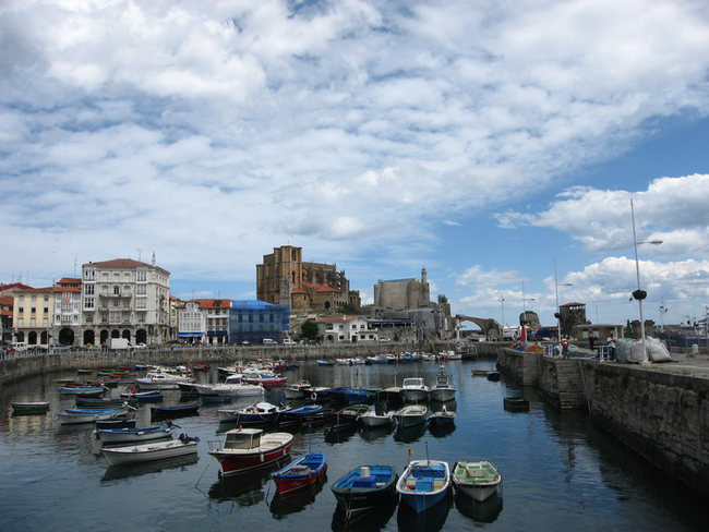
Already in Castro Urdiales, we notice that there are no yellow arrows to guide us or are rare, and we will guide ourselves taking as point of reference the sea and the promenade, to turn in the logical direction of our journey to run into the sea (on the left) and enjoy a pretty picture (the photo on the cover of this page) with the pier and the church of Santa Maria in the background. We visit the harbour area and the church and go up the street in front of us and seek for the main road, which we take to our right to go in search of the yellow arrows and so take the direction to the next town on our tour, Allendelagua.
From here, always with the sea near us and near a service road (the old N-634), we reach Cerdigo and after crossing the road again and passing before the cemetery, we leave the road and follow the arrows for a while, which through seaside broken ground paths will get us near Islares.
Leaving Islares we retake the route of the N-634, that will allow us to cross the ria of Oriñón and, always following its course we will pass through the towns of Pontarrón de Guriezo, Guriezo, Liendo, Laredo and finally my end of stage (not yours) in Colindres. I remind you that in its hostel there is no place for leaving our bikes, although as it is a relatively large city so we can always find alternative accommodation at some inn or cheap hotel if, as it happened to me, you have to stop there.


