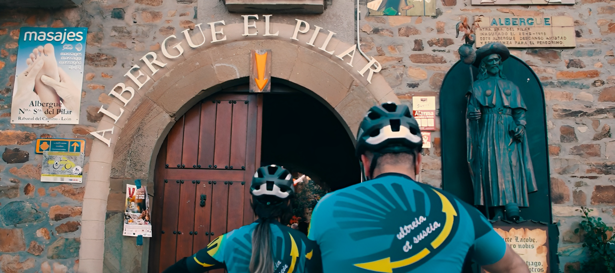


Stage 9, Rabanal del Camino – Vega Valcarce
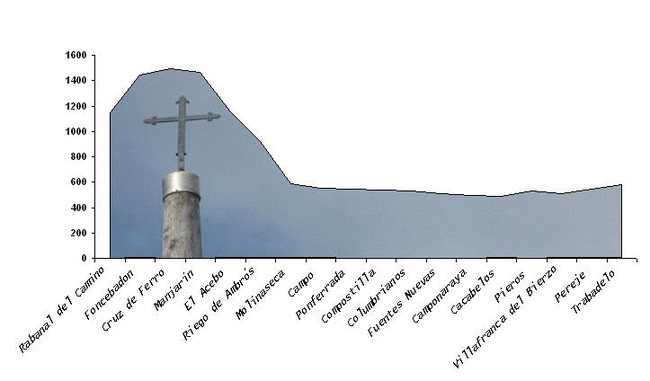
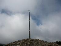
The mythical ascension to the Iron Cross. There are 8.5 km from Rabanal to the top.
The climb through the Camino path runs parallel to the road and although many cyclists make it by asphalt, there is no problem climbing the original path. The path goes along the left and right of the road that gets us closer to Foncebadón.
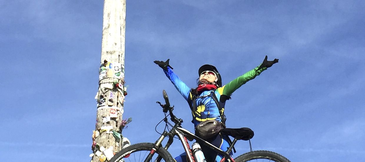
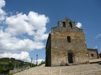
At the iron cross, it is traditional to put a stone which the pilgrims (bike-pilgrims in this case) must bring from their homes, to request protection on the journey and as a symbol of letting the weight and the negative things in this magical place. We are at an altitude of 1,504 meters.
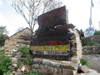
Now the route runs through an area of bushes at the top and soon we descend and we arrive (by road) to Manjarín, where the hermit Tomas has a hostel in the style of the Middle Ages, he will receive you dressed as a Templar (he is the last and only Templar remaining nowadays).
The road makes a steep slope that leads up to the altitude of 1510 meters and from there we start a long, steep decline to Molinaseca (24 km.), a cyclist passed away in this descent so it is strongly recommended not going down the original path cycling. If you want to do it you must have good brake and also be skilled enough.
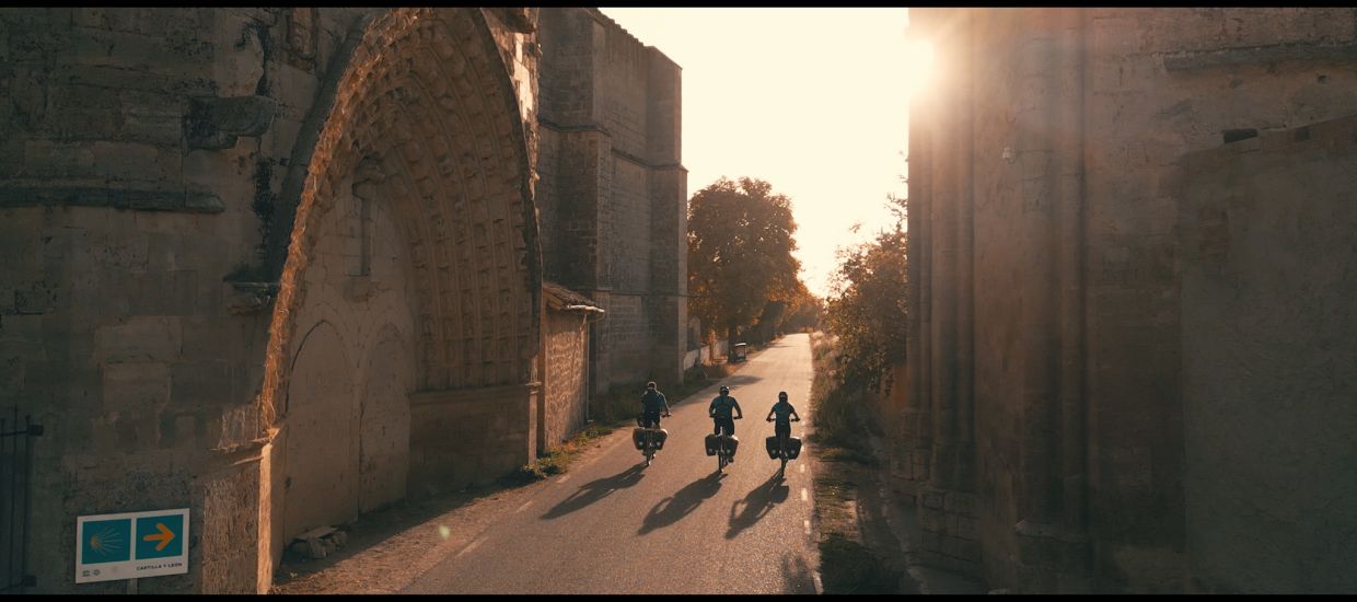
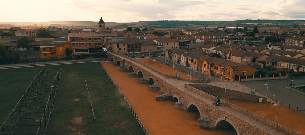
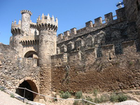
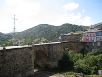
Right in the descent we will pass through typical villages of Bierzo, with its stone houses and wooden porches, like El Acebo and Riego de Ambrós. From Molinaseca to Ponferrada there is a distance of 8 kilometers, running along the Bierzo valley. The Camino passes through the road and by a few crop fields and finally gets us to Ponferrada, where we access through a bridge and once into the town center we can see the majestic castle of the Templars.
We leave Ponferrada, crossing the bridge over the Sil river. A long urban journey that ends in the orchards of Sacrameto, leads us to Compostilla, and from there through paved roads up to Columbrianos and Fuentes Navas.
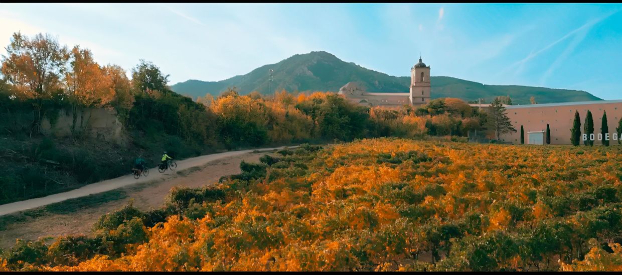
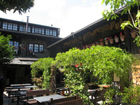
Across similar paths we head to Camponaraya, a town which at its exit and after passing next some wineries and sitting area allows us to return again to dirt paths and move away of the urban landscape. Through a path between fields of vines we head to Cacabelos where we stop at a restaurant called Moncloa, in this place we will be presented with good local wine and a piece of Galician pie, we can also seal the credential.
We cross Cacabelos through the main street and reach the bridge over Cua river, and once passed, at right we appreciate the shrine of Virgen de las Angustias, where a beautiful hostel for pilgrims has been built recently. The route continues straight along the side of the N-VI, rising up to Pieros village, which is on the right. About 2 kilometers from this small town we have to take a dirt road that will lead us to Villafranca del Bierzo, at its entry we will find the municipal hostel and a little later a private hostel.
At the exit of Villafranca, and after passing next to its castle, we access to a bridge over which we leave the town and we face again the dilemma of a fork in the Camino, the variant to Pradela with strong rises and through a path the guidelines recommend only suitable for mountaineers, or a paved path well protected from traffic passing along the road. It is recommended to take this last.
Following this path, parallel to the road, and along the Valcarce river, we reach Pereje and from there to Trabadelo. At this point it is recommended to continue for a few more kilometers (6 km) and spending the night at VEGA DE VALCARCE. We are at the foot of O Cebreiro and tomorrow we can this hard stage with renewed vigor.

Earth
Tracks GPS