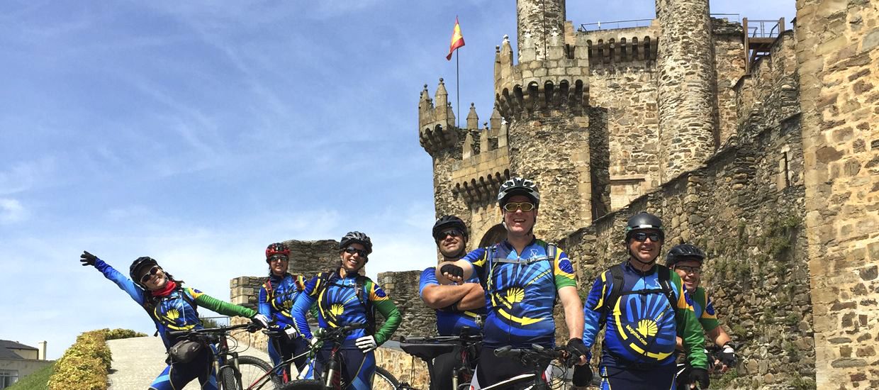
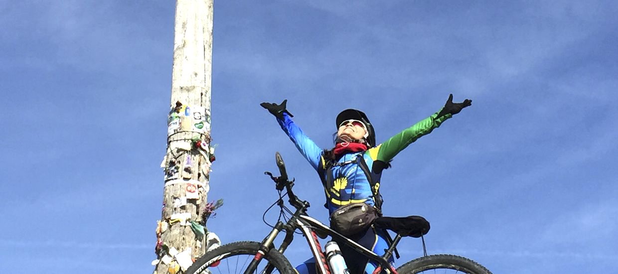
Northern Way by bicycle
Northern Way, better known as the “Camino of the coast”, is the route that runs from Irun through the Cantabrian coast to Santiago de Compostela. In the Asturian town of Villaviciosa it forks and if we go towards Gijón and therefore we stick to the coastal route, by which name is better known and popular, this route takes every sense. On the other hand, if in Villaviciosa we go towards Oviedo then we will be lined up to traveling the interior route, also called Camino Primitivo, called so because historically it is considered the first route of Camino de Santiago.
In this section you will find information of the route along the coast and we will leave the explanations of Camino Primitivo for the exclusive section of this web dedicated to that route. For those who doubt whether to go for a path or another, the one that runs next to the coast is much more cyclable and we could say more “tamed” and therefore easier. The route of Camino Primitivo runs along mountain trails and is much harder.
To follow the route of the Northern Way along the coast by bicycle is required to use “common sense” as the original layout is very hard in some sections and partly absurd as it forces us to take very complicated paths to finally bring us back to the placid roadside we were at the beginning.
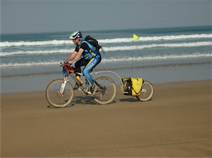
You get the impression that those who have mapped this route in some sections intended to get pilgrims to the edge of the road but what may be fine for standard pilgrims, for bike-pilgrims sometimes can become a living hell. This is why I say you have to use “common sense”, basically when we are on the ground, we will see by ourselves that we are traveling along a placid roadside with little traffic and that the original route arrows will suddenly suggest us to detour down a path with sharp decline toward a deep ravine … if we took a GPS we would see that the same path after a few meters brings us back to the very roadside we already moved around. The advice then is let ourselves go through the way, always know where we came from and where we go and make timely decisions on which paths to take and continue along road routes. At this point you should bring a good tour guide and keeping a classic road map also helps greatly. As for the use of a GPS device I should comment that it is not strictly necessary but on the other hand it really helps. In the downloads section of this website you will find the GPS tracks from my two trips (2008 by original route and 2011 looking to make it as cyclable as possible). In the following links you can access them directly: ORIGINAL NORTHERN WAY ALONG THE COAST and CYCLABLE NORTHERN WAY ALONG THE COAST.
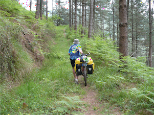
Another myth of this path is that there is much asphalt and in part this may be true but nevertheless has to be a drawback. Local roads running this path are mostly placid and without much traffic as a highway that runs alongside the course has been built recently and it absorbs almost all road traffic.
I have personally done this route on two occasions, one in 2008 following the original route and another in 2011 seeking cyclable and more logical alternatives to the route and getting to the conclusion that whereas the way in 2008 was extremely hard, the one in 2011 was much easier and enjoyable.
I also want to point that many people plan this route imagining it will flow through coastal paths, cliffs and beaches …. and the reality may disappoint a bit since the original route runs mostly a little away from the coast. On many occasions we will circulate through mountain trails sensing the sea on our right, nearby but nevertheless taking direct vision.
