

Stage 3, Puente la Reina – Logroño
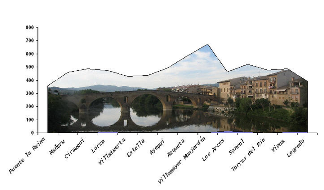
After the stone bridge, the path leads us through a valley and from there, due to construction of the highway, to a steep climbing through a quite staggering and difficult path, leaving the 111 national road to our right, to reach Mañeru, where a beautiful medieval cruise ship welcomes us.
From here to Ciuraqui there are 2.5 kilometers and after leaving the town through a tunnel and a slope, we ride through its famous Roman road.
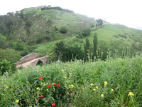
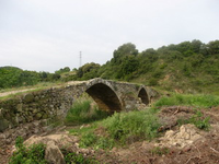
Continuing on farm courts, we arrive at N-111, and after about 500m of asphalt we get to a medieval bridge over Salado river.
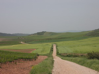
From here the path runs between vineyards and a stony path (remains of the Roman road I guess), after a while we arrive at Lorca.
After passing through a crop area where the path is on descent, we got to a recreational area along the road where there is a memorial to the Canadian pilgrim Marie Catherine Kimpton, who passed away there in 2002. We then went through a tunnel under the national road to finally reach Villatuerta.
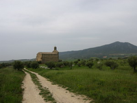
At the exit of Villatuerta we took a local road to the right and then the N-111 to the left, and about 100 meters from it a concentration track raised us up to some water tanks, we then passed the chapel of San Miguel (it had the door boarded) from which we descended towards Estella, bordering fields and orchards to finally enter the city again after crossing National road 111 and the river Ega.
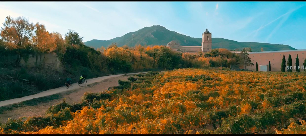
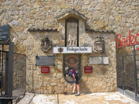
The first village to be found after leaving Estella is Ayegui and a step from there Irache Monastery can be found, which you should not miss, but not before passing by the famous fountain from which instead of water comes out wine. In the fountain there is a webcam and if you call your friends by phone they can watch you online live.
We keep going and after crossing the road at the exit of Irache, by a rocky path, we reach Azqueta: Where lives a celebrity of the Camino de Santiago (Pablito), who gives canes to pilgrims and teaches the technique for walking with a cane. According to a very knowledgeable person on the Way of St James, Pablito is the first person who has made our pilgrimage route by bicycle.
After passing through an agricultural area and some vineyards, we reach the thirteenth century medieval fountain, also known as the fountain “of the Moors” which is just before the entrance of Villamayor de Monjardín. From there the route runs a long distance through wide and firm traces that in continuous descent lead us effortlessly to Los Arcos.
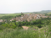
We left Los Arcos on the way to the cemetery, taking a farm track in good condition that leads us to Sansol, where in the other side of a cliff we spot the town of Torres del Río.
From here to Viana the path becomes rough and difficult for cyclists, and we enter an area of ravines and a continuous up and down that in a distance of 11 kilometers keeps crossing the road in several sections. It’s a stretch which several local people advised us to do down the road and that quite dwindled our strength.
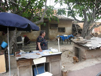
At the exit of Viana we pass the hermitage of Virgen de las Cuevas (patroness of Viana) and find a construction zone, which after crossing leaves us in a track of red asphalt which, between cereals and vines, leads to a steep descent where if we go down very fast we will ignore another important character of the Camino de Santiago (Felisa of figs) that awaits us at the door of her house to seal our credential, and as stated in its seal (which you can not miss) to give us water, love and figs (in season).
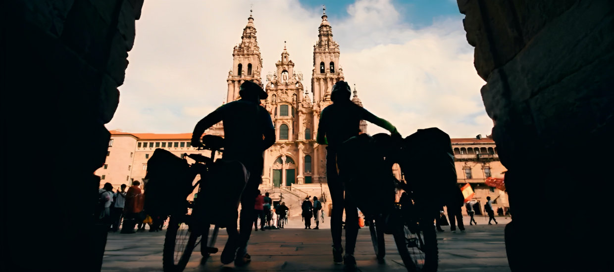
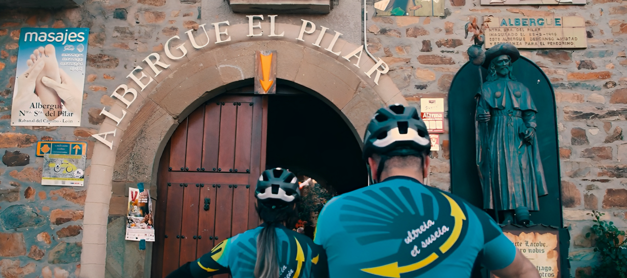
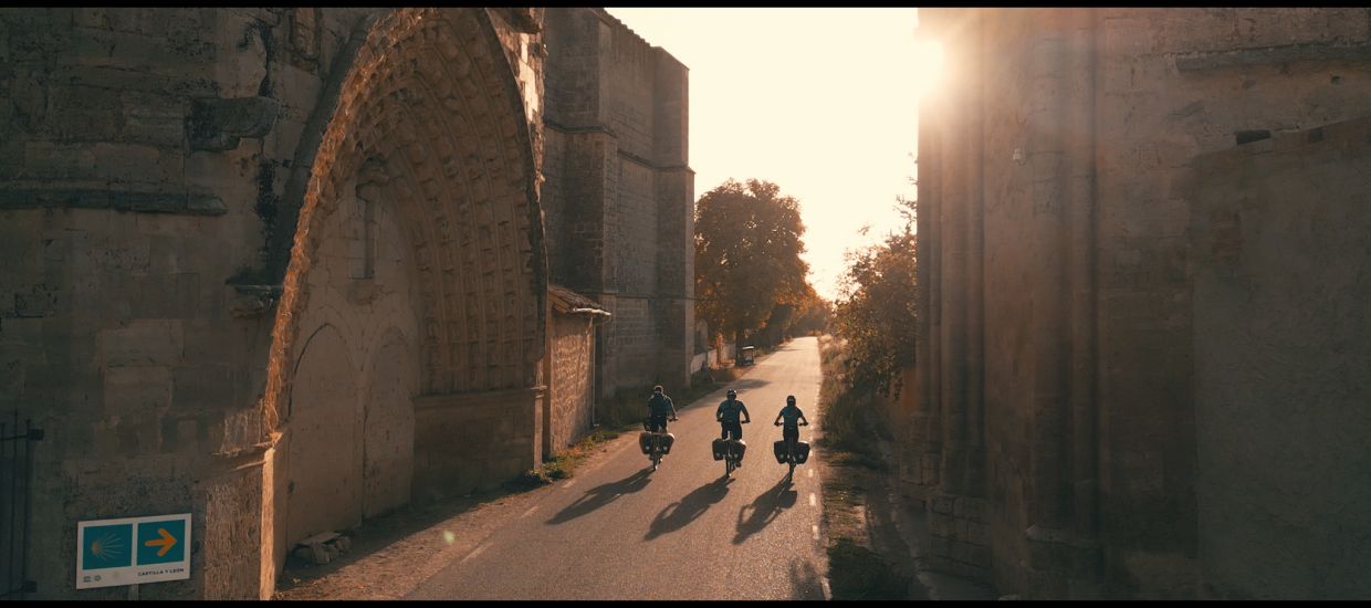
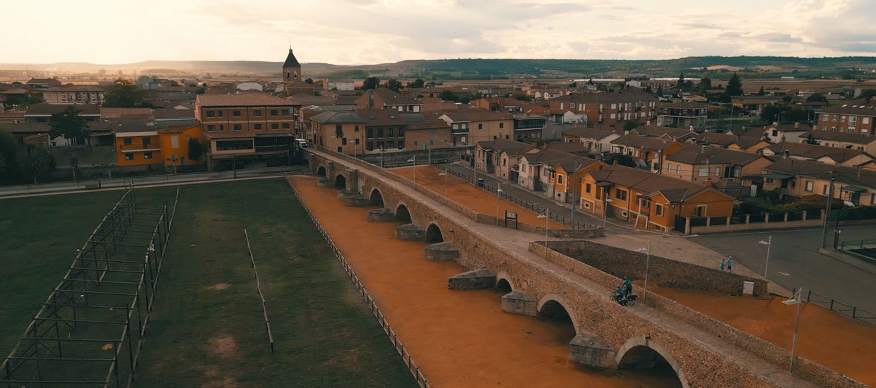
From this endearing landmark of the Camino de Santiago, we continued descending and along the river Ebro we reached the entry of Logroño, and after crossing its stone bridge we accessed the city through the old town. The yellow arrows leave us in front of the shelter which looks so much better outside than inside. Depending on the dates you can find it very crowded.

Earth
Tracks GPS